The search has to be between 2 and 50 characters


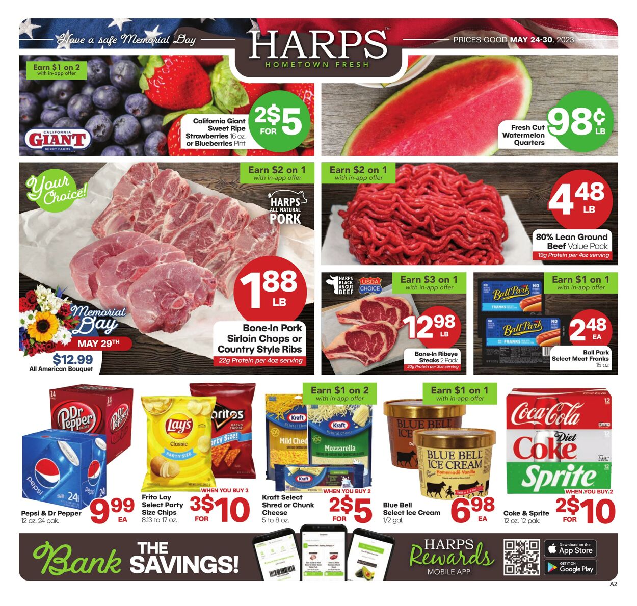
Products in this weekly ad
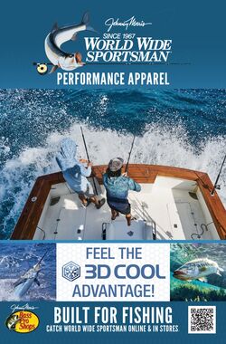
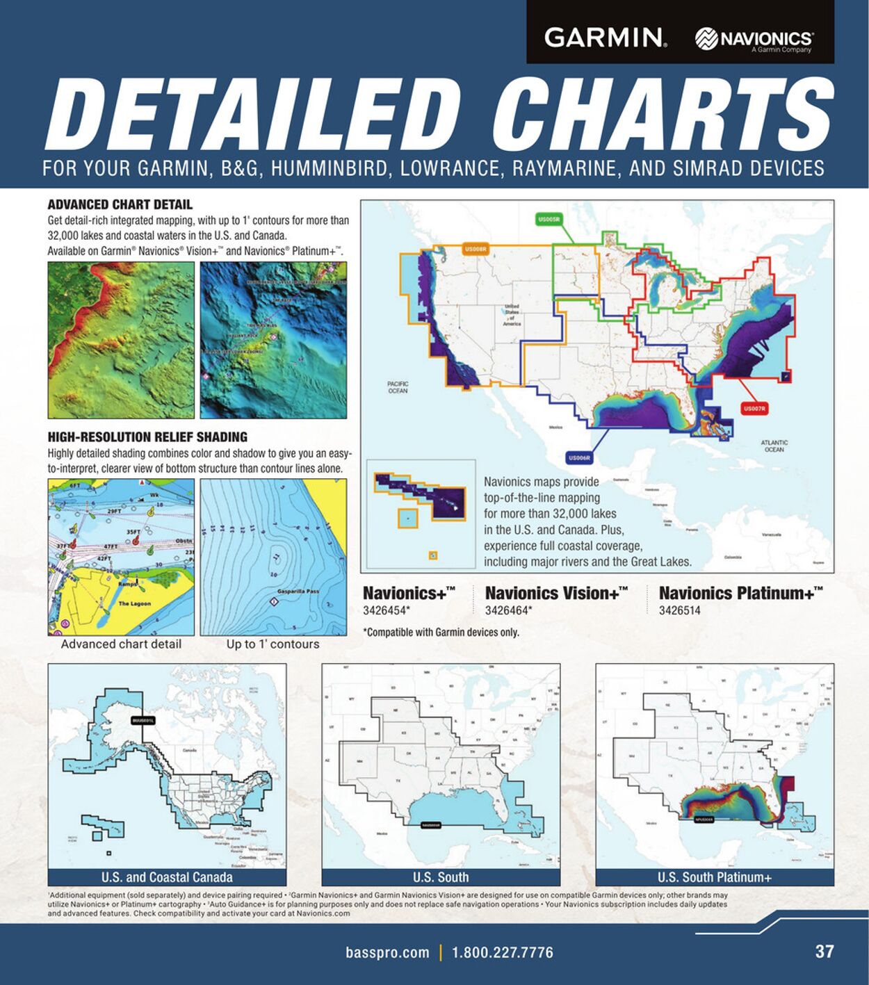
GARMIN. @pnavionics DETAILED CHARTS FOR YOUR GARMIN, B&G, HUMMINBIRD, LOWRANCE, RAYMARINE, AND SIMRAD DEVICES ADVANCED CHART DETAIL Get detail-rich integrated mapping, with up to 1° contours for more than 32,000 lakes and coastal waters in the U.S. and Canada. Available on Garmin® Navionics® Vision” and Navionics® Platinum + — NESS hice SS . Sas a SESS HIGH-RESOLUTION RELIEF SHADING Highly detailed shading combines color and shadow to give you an easy- to-interpret, clearer view of bottom structure than contour lines alone. Navionics maps provide =~ top-of-the-line mapping for more than 32,000 lakes in the U.S. and Canada. Plus, tac experience full coastal coverage, including major rivers and the Great Lakes. ™ - ono it Navionics+” Navionics Vision+™ Navionics Platinum+™ 3426454* 3426464* 3426514 “Compatible with Garmin devices only. Up to 1’ contours U.S. and Coastal Canada U.S. South Platinum+ ‘Additional equipment (sold separately) and device pairing required « Garmin Navionics¢ and Garmin Navionics Vision* are designed for use on compatible Garmin devices only; other brands may utilize Navionics+ or Platinum® cartography - Auto Guidance+ is for planning purposes only and does not replace safe navigation operations « Your Navionics subscription includes dally updates ‘and advanced features, Check compatibility and activate your card at Navionics.com basspro.com | 1.800.227.7776


| Name | Details |
|---|